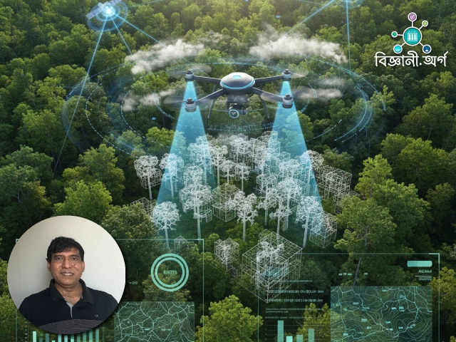
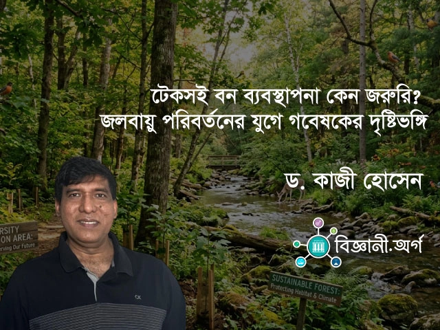
There was a time when forest management meant going into the woods in teams to count trees, measure their height, and take notes. While this method is still important today, it is time-consuming and expensive for vast forests. Modern technology has changed that reality. According to Dr. Kazi Hossain, technologies like remote sensing and machine learning have opened up a new horizon in forest management.
Remote sensing refers to technology that collects data from a distance. Through satellite imagery, drones, or LiDAR technology, we can gain insights about the surface of forests. LiDAR technology works by sending tiny pulses of light from the sky and measuring how long they take to bounce back. From this time difference, we can determine tree height, density, or the structure of the forest. In simple terms, it’s like creating a 3D image of the forest from the sky.

However, having only images or raw data is not enough for making decisions. This is where machine learning comes in. Machine learning is a technology where computers are taught by examples—what kind of data means what. For instance, if a computer is trained with forest data collected from different places, it can then analyze new data to predict which tree species might be present, what the density is, or where signs of water flow can be found. Dr. Kazi Hossain states that methods such as ‘Random Forest’ or ‘Support Vector Machine’ are being used for such predictions.
The application of these technologies has brought many advantages to forest management. A comprehensive overview of vast areas can be obtained quickly. Information on where forests are dense or sparse, or where environmental risks are higher, helps policymakers make swift decisions. However, Dr. Kazi Hossain warns that technology-based data is not always 100% accurate. It is essential to verify remote data with field-level, real-world information; otherwise, there is a risk of making incorrect decisions.
Another important use of this technology is in environmental conservation. Remote sensing and machine learning are used to identify small water courses or fish habitats within forests. As a result, sensitive areas can be identified before timber extraction or construction work begins. This helps to reduce environmental damage.
According to Dr. Kazi Hossain, technology can never replace humans; rather, it gives human decisions a stronger foundation. Sustainable forest management is only possible when field experience and technological analysis work together. In countries like Bangladesh, the potential for applying this technology is immense. Systematic use of remote sensing and data analysis can add a new dimension to forest conservation and management.
This new tool of modern forest management reminds us—technology is not an enemy of nature, but can become a powerful ally when used properly in the protection of our natural world.
affordablecarsales.co.nz


Leave a comment